AI in the World of Geospatial Data

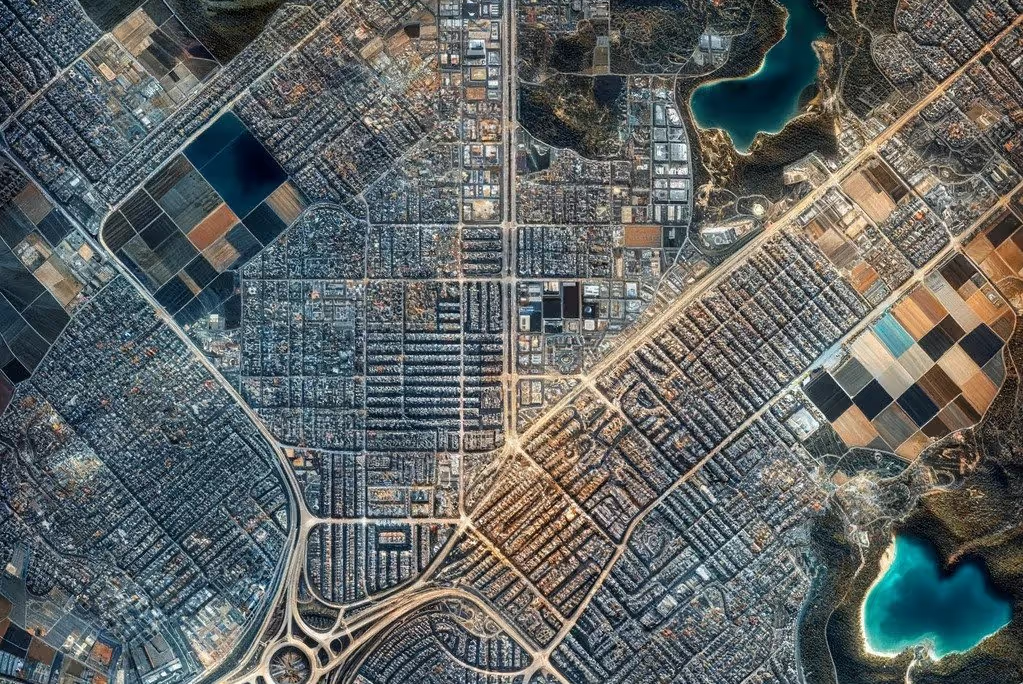
Geospatial data, at its core, is information that identifies the geographic location and characteristics of natural or constructed features and boundaries on the Earth. This data includes a wide range of formats, from simple map coordinates to complex satellite imagery,and can be gathered in a variety of different ways from aerial flyovers to UAV’s and small drones. It's integral to a multitude of sectors including urban planning, environmental monitoring,transportation, and more. Its value lies in providing crucial insights into spatial relationships, patterns, and trends. By understanding where things happen, we can better understand why they happen, leading to more informed decision-making and strategic planning.
The journey of geospatial data over time is a tale of technological advancement. In the past, it was predominantly about mapping and basic location services. As technology progressed, so did the richness of geospatial data. Today, we have access to intricate layers of information, ranging from real-time traffic data to detailed environmental attributes. This has been facilitated by more advance in technology allowing ultra high resolution satellite imagery, more frequent satellite imagery and the continual improvement in the cost effectiveness in UAVs such as consumer grade drones has made geospatial data more high quality and more prevalent.
Geospatial data finds its application in numerous fields, each harnessing its potential in unique ways. In urban planning, it aids in designing smarter, more efficient cities by analysing land use,infrastructure, and population density. Environmentalists use it form onitoring climate change and managing natural resources. In transportation, it's crucial for route optimization and traffic management. Businesses use geospatial data for market analysis,identifying prime locations for expansion based on demographic and economic data.
Historically, the analysis of geospatial data was a labor-intensive process. One common method was hand-labeling, where specialists would manually identify and categorize elements in satellite images or maps. This method, while accurate, was extremely time-consuming and limited in scope. Another traditional approach involves the use of specialized software for spatial analysis. These tools allow for more efficient processing of data but often required extensive expertise and still require extensive labour time to operate and get accurate results.
With the increase in geospatial data availability over the last number of years happening in parallel with the increasing capabilities of artificial intelligence and machine learning for tasks such as image based object detection and segmentation along with the ever increasing demand for the labour intensive analysis of geospatial data there is an obvious application of AI within the realm of geospatial data. To date applications such as open source work from Microsoft have focused on areas such as automatically identifying damage to buildings in areas affected by natural disasters or identifying new solar farms using basic deep learning architectures such as U-nets
More recent advancements in Artificial intelligence for geospatial data have focused on expanding the data that is utilised by the models, both in terms of the size of the data sets and modalities of the data. A good example of this is the recent watsonx.ai geospatial foundation model from IBM and NASA which harnesses 250,000 terabytes of NASAs satellite data across not just RGB but hyper spectral imagery to produce a state of the art foundation model for satellite data. Models such as this can then be fine tuned to achieve best in class performance on a verity of downstream tasks such as land use identification and vegetation type identification.
(2)(1).gif)
At New gradient our AI developers have experience working with Geospatial data for a variety of use cases. One of our recent applications of geospatial data is in processing of orthomosiac drone imagery with our custom AI model for determining rock particle sizes in quarry blasts as part of our ‘FragMap’ tool currently used in tarmac quarries. Our tool provides quarry managers with state of the art analysis of their blasting outcomes, allowing for improved blasting practices, reduced processing costs and reduced CO2 emissions.
We have also applied business specific AI solutions to geospatial data for a recent project working with data on peatlands for the purposes of land conservation and restoration. Our AI provides game changing performance in automated labelling of peatland for tracking and monitoring of peatland throughout the restoration process via our state of the art AI model. This will allow users to save a significant time investment from human experts normally required to manually label this data. This is a fantastic example of how machine learning applied to industry can automate business specific process.
The evolution of geospatial data, paralleled by the remarkable strides in AI and machine learning, marks a significant leap in how we interpret and utilize this data. At New Gradient as a leading AI consultancy we are committed to being an active participant in this transformative era, applying our expertise in AI to transform geospatial data into actionable insights. Our innovative applications, like the 'FragMap' tool for quarries and our peatland conservation project, demonstrate the transformative impact of AI on traditional geospatial analysis. These advancements not only streamline processes and enhance accuracy but also open new horizons for sustainable development and efficient resource management.


